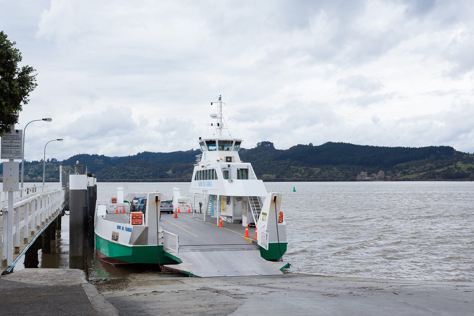
Geography was never my strong subject. Maps elude and often confuse me (hence I’m in the business of Getting Lost) and I tend to take google as gospel when it comes to drive times. And so it was that I missed the vital ribbon of blue on the map that separates Rawene and Kohukohu and the small print on my google drive times that says “this route includes a ferry”. Adrienne over on the Getting Lost page even mentioned it but I thought it was just a nice to do… Luckily the Hokianga Ferry was both regular and cheap so it wasn’t a problem but it did set off some alarm bells when as we were leaving Tane Mahuta one of James friends suggested we should check ferry times.
Slightly panicked with the “ferry, what ferry!” I rang the Hokianga Ferry number to ask about times, if we needed to book and how much this ferry was going to cost. The answers – the ferry goes every hour (less in Winter), no need to book and it will be $22 for you, the car and the kids. Winning, winning and really winning.
Peace restored in the car that we wouldn’t have to take the long way around we settled in to enjoy the view. The one that stuck with me is the incredible sand dunes in Opononi that take your breath away when you come over the mountain (thanks for the tip on this one over on Getting Lost Barry – the forest was a great detour).

Arriving at Rawene we literally drove straight on to the boat and in about 15 minutes were off on the other side in Kohukohu. Like everything in the Hokianga it was an incredibly laid back and relaxed journey across with people in an out of their cars and chatting to each other.

The kids thought it was awesome and we were definitely glad to shave some much needed time off our travel and get to our accommodation for the night – the Hippy Hut.


The Hokianga Ferry - Mind that gap in the map
Comments (2)
Hello Paul,
Talking about Google maps and the ferry.. If you switch mode of transport off car to public transit it shows ferry in Google maps. Doesn’t seem right but that’s the only way I got it to show ferry.
Google Maps is showing a long land route even though I’ve switched Off Avoid Ferries. Confused, but determined. Pressing onward but feeling lost.